
Product
Revelo - Spatial Decision Support System
Revelo, 6Simplex’s Spatial Decision Support System, provides real-time insights into your organisation’s daily operations by leveraging geospatial and data management technologies.
Full Stack Geospatial Solutions
6Simplex specialises in full-stack GIS products and solutions, building tailored GIS data and analysis services for clients across Government and Private sectors. Our team of passionate software designers, developers, and GIS analysts with diverse backgrounds and experience solve unique spatial data management, analytics, and workflow problems using GIS technology.
Project Applications
Utility Management
Water resources
Smart city solutions
Forest Resources Management

How Revelo Works
- 01 /Define business domain/
- 02 /Understand existing data/
- 03 /Analyse expected data/
- 04 /Begin the data life-cycle journey/
- 05 Once changes take place, evolve and adapt/

Industries & Use Cases: Revelo – Spatial Decision Support System
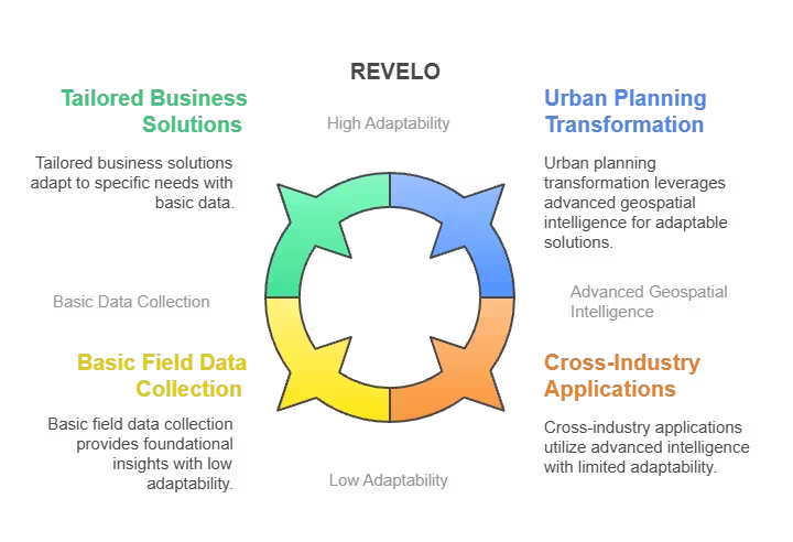
Revelo is a powerful Spatial Decision Support System (SDSS) designed to enhance strategic planning through intelligent spatial analysis and geospatial data integration. It enables governments, planners, and businesses to make smarter, data-driven decisions in complex environments. Whether it’s urban development, resource allocation, or infrastructure planning, Revelo turns spatial data into actionable insights.
Industries:
Urban Planning & Smart Cities
Plan infrastructure, zoning, and land use with precision to support sustainable and efficient urban development.
Environment & Natural Resource Management
Analyze ecosystems, monitor environmental impact, and support conservation efforts through spatial intelligence.
Government & Policy Making
Make data-backed policy decisions on housing, transport, utilities, and disaster management.
Utilities & Infrastructure
Manage and optimize the placement of power lines, water networks, and communication systems.
Use Cases:
Land Use Planning
Analyze current land use patterns and simulate future scenarios for balanced development.
Site Suitability Analysis
Identify optimal locations for public facilities, commercial hubs, or green zones based on multi-criteria analysis.
Infrastructure Planning
Optimize placement of roads, utilities, and transportation systems for long-term urban growth.
Environmental Impact Assessment
Predict and mitigate the impact of proposed projects on the natural environment.
Who is Revelo for
- Business Owners
- Decision Makers
- GI Experts
- GI Analysts
- Data Analysts
- Data Journalists
- Researchers
Phantom - GIS for Logistics
Phantom is a powerful Geographic Information System (GIS) designed specifically for logistics and supply chain operations. It enables businesses to plan, analyze, and optimize routes, fleet movements, and delivery operations with real-time spatial intelligence. With Phantom, logistics becomes smarter, faster, and more efficient.


Key Features:
- Real-Time Tracking – Monitor vehicle movements and delivery status live.
- Fleet Analytics – Gain insights into vehicle performance and fuel usage.
- Custom Mapping Tools – Visualize data over customized map layers.
- Route Optimization – Calculate the fastest, most cost-effective delivery routes.
- Scalable & Cloud-Based – Accessible anytime, anywhere, with enterprise-level security.
- Geofencing & Alerts – Set zones and receive instant notifications for deviations.
Applications:
Logistics & Supply Chain
Optimize delivery schedules and reduce operational costs.
E-Commerce
Ensure timely and efficient last-mile deliveries.
Transportation
Monitor and manage large fleets across regions.
Warehousing
Plan inbound and outbound movements with precision.
Emergency & Public Services
Improve response times through spatial planning.