


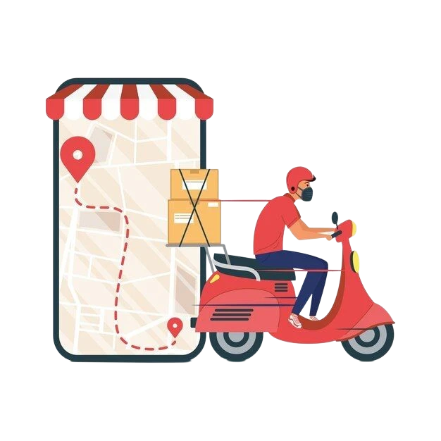
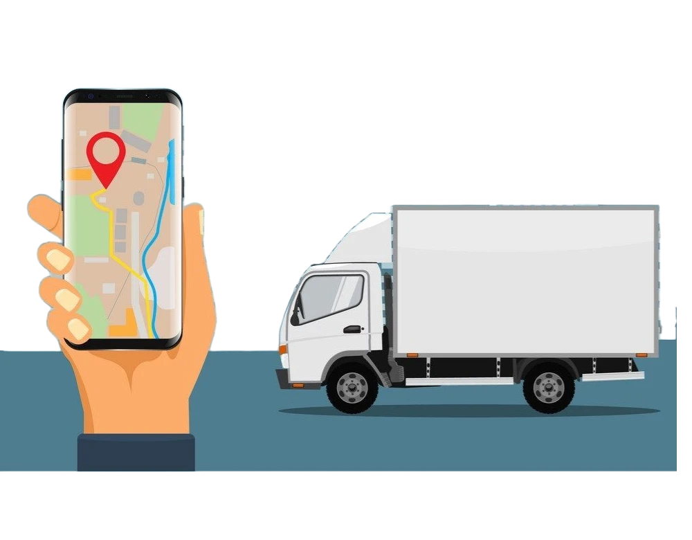
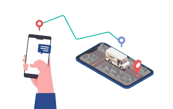
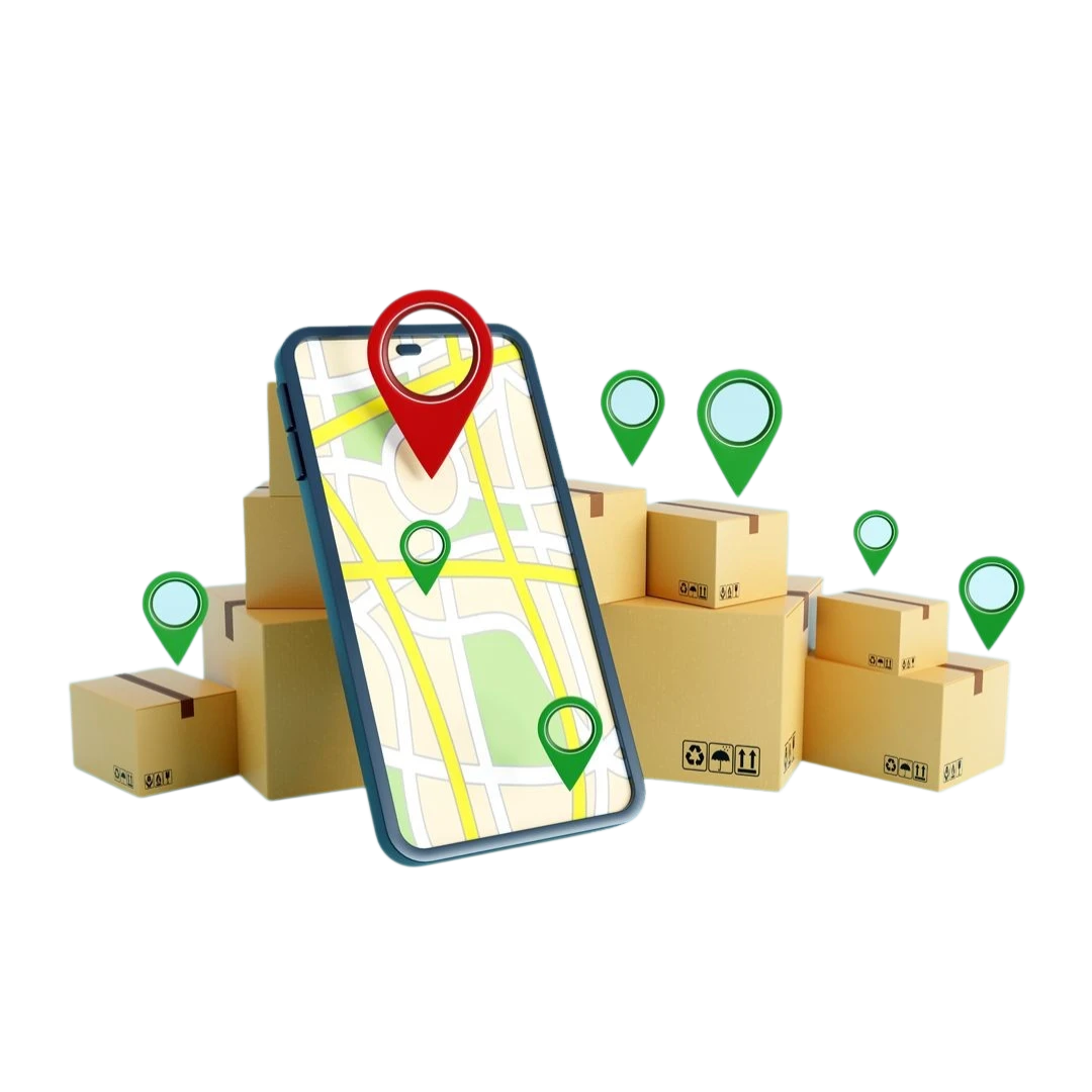
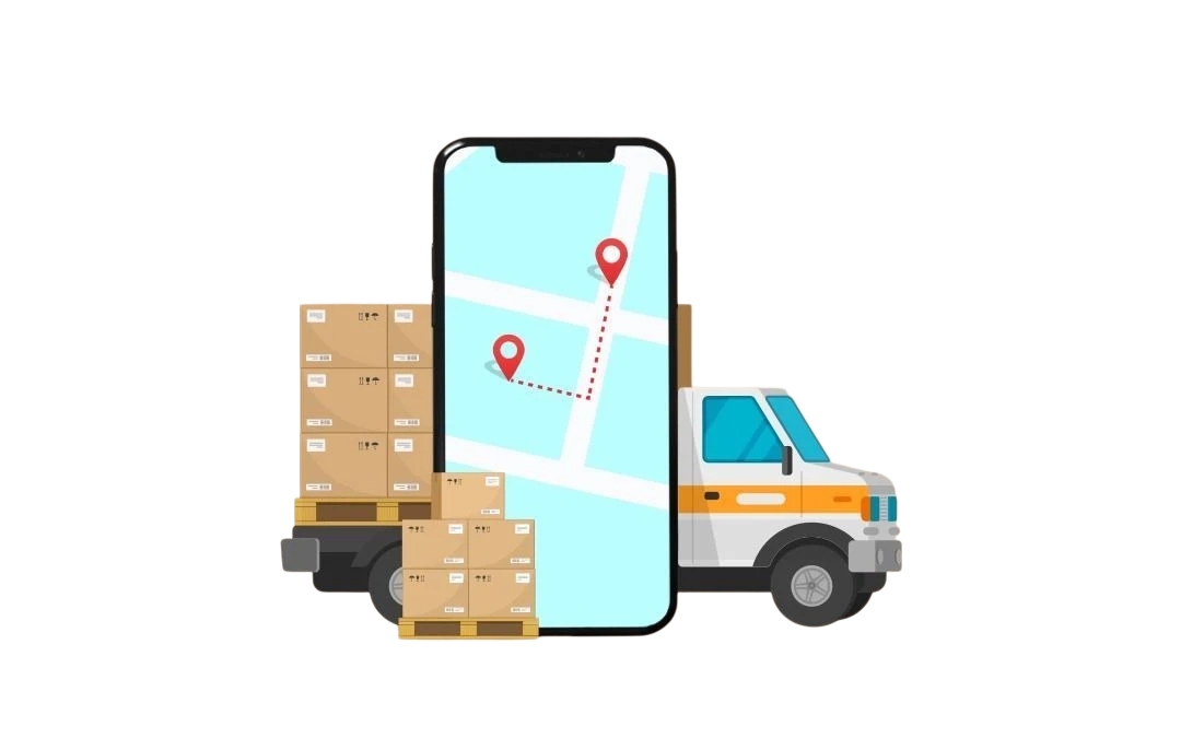
Delivery Tracking & Optimization
Optimize routes and track shipments in real-time using geospatial intelligence to improve delivery speed, reduce costs, and enhance overall logistics efficiency.

Field Service Management
Plan technician visits and monitor service teams in real time to improve service efficiency, reduce delays, and ensure timely completion of field tasks.

Installation & Setup Operations
Coordinate installation teams, track on-site work, and capture proof of completion to ensure installations are performed correctly and on schedule.
Asset Inspection & Field Audits
Assign inspection routes, capture photos and field data, and track inspection activity to improve compliance and maintain accurate operational records.
Field Sales & Market Visits
Plan store visits, monitor field sales movement, and track coverage across territories to improve market visibility and ensure consistent customer engagement.
Fleet Operations Monitoring
Track vehicle movement, monitor route adherence, and analyze fleet performance to improve operational efficiency and reduce fuel and maintenance costs.
Municipal & Infrastructure Field Operations
Coordinate field teams, monitor work activity across locations, and verify task completion to improve accountability and service delivery in public operations.
Survey & Field Data Collection
Manage survey teams, capture geotagged field data, and monitor progress across multiple locations to ensure accurate and structured data collection.

Water Utilities Management
We enable smart water distribution with real-time tracking, leak detection, and demand forecasting using geospatial technology.

Census Data Management
Our solution streamlines water system management with geospatial tech for tracking, leak detection, and demand forecasting.

City Development Plan Management
Streamline the planning, execution, and monitoring of city development initiatives with smart, GIS-enabled tools.

Smart Cities Solutions
Empowering cities with integrated, data-driven technologies to enhance urban living, sustainability, and governance.

Forest Assets Management
Monitor, map, and manage forest resources effectively using geospatial tools for conservation, planning, and sustainable use.

Plantation Monitoring
Track plantation health, growth, and coverage using satellite imagery and GIS to ensure sustainable development and timely interventions.

Tree Census
Accurately map and record tree data using geospatial technology to support urban forestry, planning, and environmental sustainability.