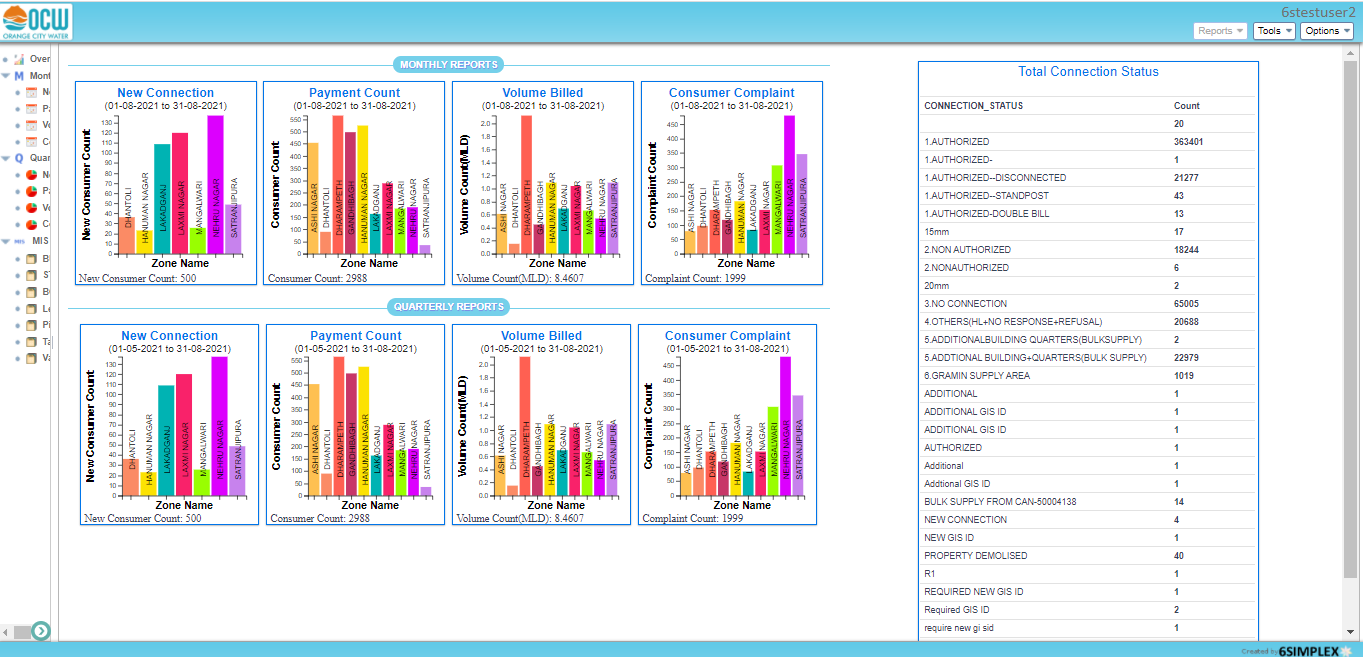
This Geospatial platform was built by 6Simplex for a city with a population of 35 Lakhs (3.5 Million) for managing water supply infrastructure, billing, customer management and planning outages and repairs. The main goals were to:

  • Map and augment water supply infrastructure related spatial and non-spatial data
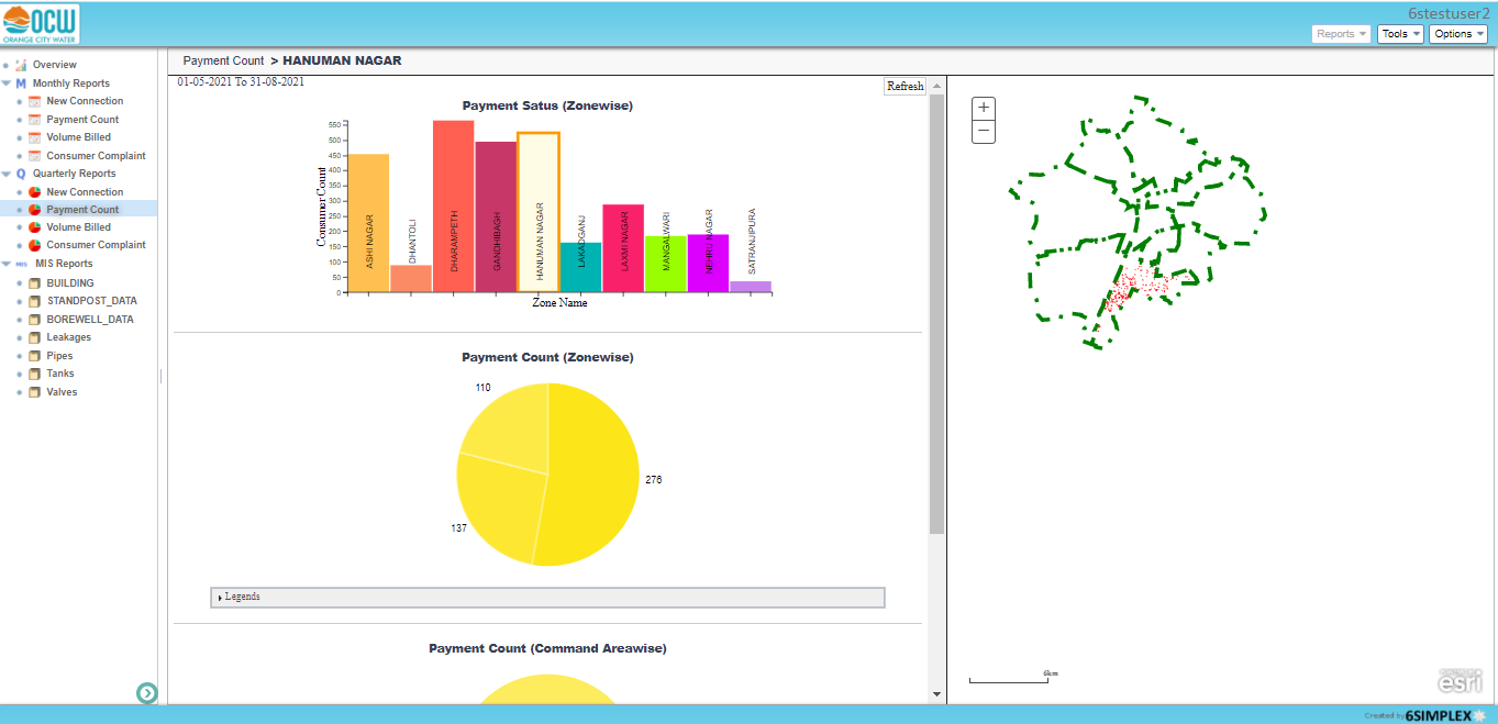
  • Understand the customer base
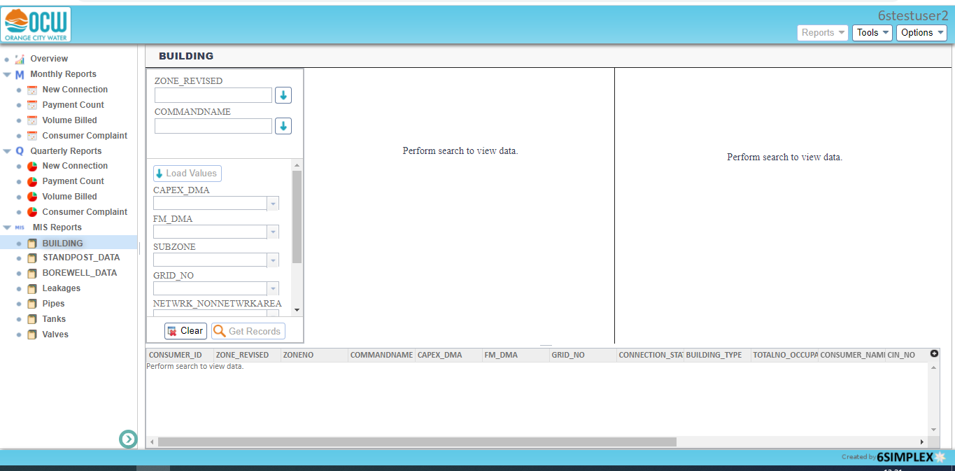
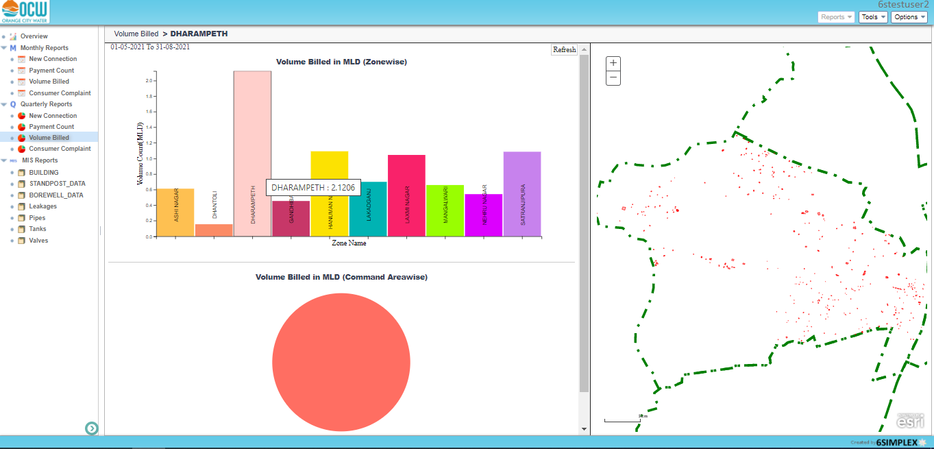
  • Manage spatial data for water connections and water supply infrastructure
  • Determine legal and illegal connections to increase revenue.
  • To plan growth and upgrades to Water infrastructure and improve water related cadastral database
  • To meet maintenance and repair planning and implementation challenges
  • To communicate with consumers in a timely manner

In addition to above capabilities, this platform's role based access provided tailored views to Management, Operations and GIS users. Some heavily used features include:

  • Searching and Updating infrastructure data via Web GIS spatial search and editing tools
  • Spatial Web based tools to visualize Water Flow and plan outages and repairs
  • Tools to monitor the city water distribution network through rehabilitation of the existing network and laying new network
  • Tools that provide visual status of the water distribution network which enables concerned to attend the issues on field in a timely manner.

Automatic Report generation capabilities of this platform include:

  • Monthly and quarterly reports for Management
  • Revenue and Non-revenue water consumption reports
  • New connections, volume of water billed reports
  • Payment collection, pending complaints reports

Tech Stack

Application Server

  • JEE with Security enabled services

GIS Server

  • Esri’s ArcGIS Server with Java custom extensions
  • ArcFM Server

Web application

  • ArcGIS JavaScript API

Mobile application

  • GIS SDK for Android designed and developed by 6Simplex